Dehradun to Chakrata Taxi Guide: Distance, Route & What to See (2026)
Planning a Chakrata trip? Distance from Dehradun, road conditions, Tiger Falls & Deoban, cantonment ID rules, and what to know before booking a taxi.
- Written by
- Uttarakhand Cab Team
- Updated
- July 17, 2026
- Reading time
- 8 min read
Local travel desk
Cab planning, road timing and fare clarity for Uttarakhand routes.
Want to see more from Uttarakhand Cab 24/7 on Google?
Add us as a Preferred Source and our travel guides get a visible badge whenever they show up in your Google Search, AI Overviews, or AI Mode results.
Add as Preferred Source →Why Chakrata Is Different From Uttarakhand’s Usual Hill Stations
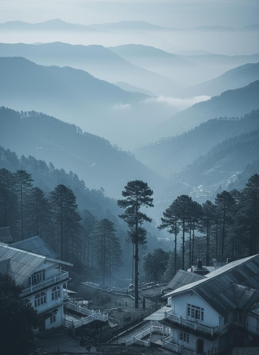
Chakrata is a working army cantonment town at 2,118 metres, roughly 90 km from Dehradun, and it stays genuinely uncrowded because it was never built for mass tourism the way Mussoorie or Nainital were. Dense deodar and pine forest, the Jaunsari tribal community with its own distinct culture, and attractions that require a bit of effort to reach — this keeps Chakrata firmly in offbeat territory even as nearby hill stations get busier every year.
Distance, Route & Road Conditions
Chakrata is approximately 90 km from Dehradun, and the drive takes around 3 to 3.5 hours — longer than the distance alone suggests, because the road narrows and climbs significantly for the last stretch. The route runs via Vikasnagar and Kalsi; roads are in reasonable condition up to Kalsi, after which the final climb involves narrow mountain roads with limited overtaking room. This is a route where driver experience genuinely matters — not a road you want a city-only driver navigating for the first time.
Top Places to See
- Tiger Falls: At roughly 95 metres, this is considered India’s highest direct-drop waterfall, about 20 km from Chakrata town. Reaching it involves a manageable 5 km trek downhill from the road point through forest and small hamlets — comfortable shoes are essential.
- Deoban: A high-altitude deodar forest roughly 13–15 km from town, with sweeping Himalayan views on clear days. The approach road is rough in stretches, so factor in extra travel time.
- Chilmiri Neck: Just 2–3 km from town and an easy walk, this viewpoint gives a 360-degree Himalayan panorama and is especially worthwhile at sunrise.
- Kanasar & Mundali: Further out (roughly 26–36 km), these offer ancient deodar forest and, in winter, light skiing conditions — best treated as a separate day if you want to include them.
Cantonment Access — What to Know
Chakrata is an active military cantonment, which means the town itself is unusually clean and orderly for a hill station, but it also means you should carry a valid government photo ID at all times — checkposts at the cantonment boundary do verify visitors, particularly for the inner zone. Indian nationals typically pass through without needing advance permits, but requirements can shift, so it’s worth confirming current rules with your driver or the district administration if you’re planning a longer stay. Foreign nationals face additional restrictions given the area’s proximity to sensitive military installations and should verify requirements well before travel.
Planning Your Trip
Mobile network coverage (Jio/BSNL) works in Chakrata town itself but drops out completely at Deoban, Tiger Falls, and most forest areas — let someone know your rough plan before heading out to the falls or forest viewpoints. Since Chakrata doesn’t have a fixed published taxi fare on our standard rate card (unlike our main routes), WhatsApp us your dates and we’ll confirm a fixed quote for the full Dehradun–Chakrata round trip, including any of the extended stops like Deoban or Tiger Falls.
Frequently Asked Questions
1. How far is Chakrata from Dehradun?
Approximately 90 km, taking around 3–3.5 hours by taxi due to the narrow mountain roads on the final stretch.
2. Do I need a permit to visit Chakrata?
Indian nationals generally don’t need an advance permit for the main town, but always carry valid photo ID for cantonment checkposts. Foreign nationals face additional restrictions and should confirm current requirements before travel.
3. Is Tiger Falls a difficult trek?
No — it’s a manageable 5 km downhill trek from the road point through forest and small hamlets, suitable for most fitness levels with comfortable shoes.
4. Is there mobile network in Chakrata?
In town, yes (Jio/BSNL). At Deoban, Tiger Falls, and most forest areas, no — plan accordingly and let someone know your itinerary.
5. What’s the best time to visit Chakrata?
Summer (March–June) for pleasant weather and easy road access; winter brings snow at higher points like Deoban but road conditions get harder. Monsoon (July–September) carries landslide risk on the narrow final stretch and is best avoided.
Continue planning
Related Guides

Common Uttarakhand Travel Queries
Need a cab for this plan?
Book Your Dehradun to Chakrata Taxi
An experienced hill driver matters more on this route than most — narrow roads, limited signage, and long stretches without mobile signal. WhatsApp us your travel dates for a fixed-fare quote.
Message on WhatsApp